Travel Guide of Wollongong NSW in Australia by Influencers and Travelers
Wollongong, informally referred to as "The Gong", is a city located in the Illawarra region of New South Wales, Australia. Wollongong lies on the narrow coastal strip between the Illawarra Escarpment and the Pacific Ocean, 68 kilometres south of central Sydney.
Download the Travel Map of Australia on Google Maps here
The Best Things to Do and Visit in Wollongong NSW
TRAVELERS TOP 10 :
- Wollongong
- Wollongong Head Lighthouse
- Nan Tien Temple
- North Wollongong Beach
- Bulli
- Sea Cliff Bridge
- Stanwell Tops
- Kiama Blowhole
- Royal National Park
- Helensburgh NSW
1 - Wollongong
Wollongong, informally referred to as "The Gong", is a city located in the Illawarra region of New South Wales, Australia. The name is thought to be derived from the word woolyungah in the language of the Aboriginal inhabitants at the time of settlement, meaning five islands.
Learn more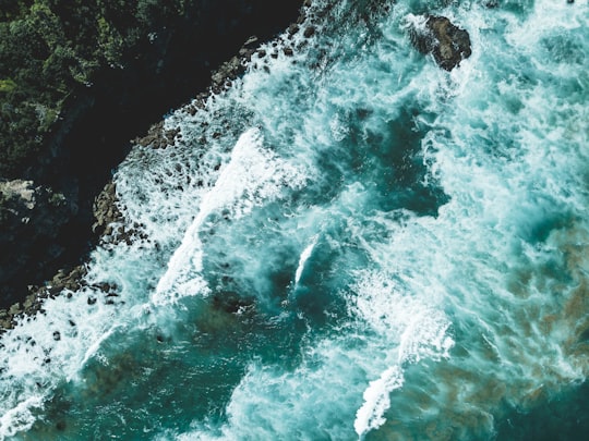
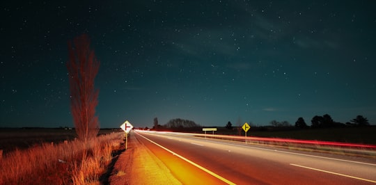
2 - Wollongong Head Lighthouse
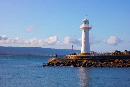
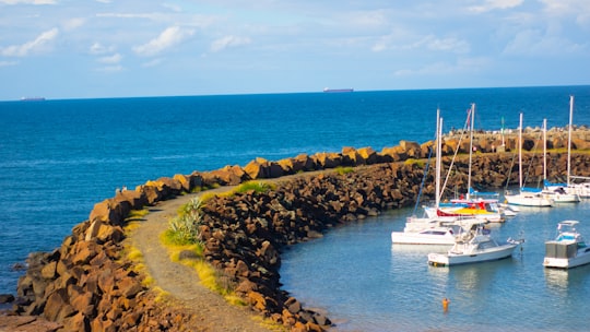
Wollongong Breakwater Lighthouse, also known as Wollongong Harbour Lighthouse, is an historic lighthouse situated on the southern breakwater of the heritage-listed Wollongong Harbour, in Wollongong, a coastal city south of Sydney, New South Wales in Australia.
Learn more Book this experience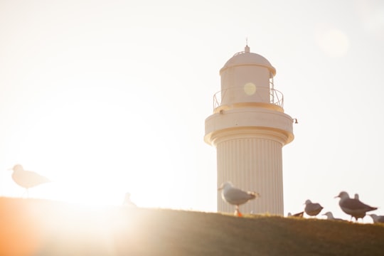
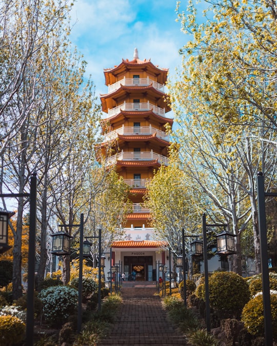
3 - Nan Tien Temple
6 km away
Learn more
4 - North Wollongong Beach
Learn more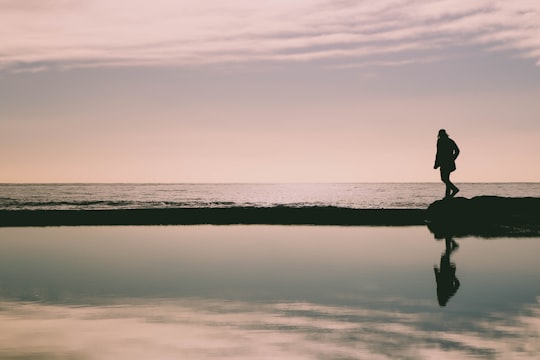
5 - Bulli
11 km away
Bulli is a northern suburb of Wollongong situated on the south coast of New South Wales, Australia. Bulli is possibly derived from an Aboriginal word signifying "double or two mountains", but other derivations have been suggested.
Learn more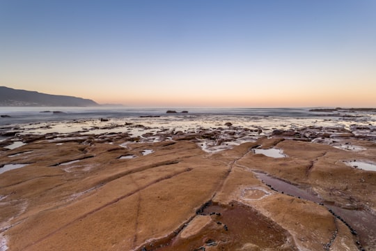
6 - Sea Cliff Bridge
21 km away
The Sea Cliff Bridge, together with the adjoining Lawrence Hargrave Drive Bridge, are two road bridges that carry the scenic Lawrence Hargrave Drive across rockface on the Illawarra escarpment, located in the northern Illawarra region of New South Wales, Australia.
Learn more Book this experience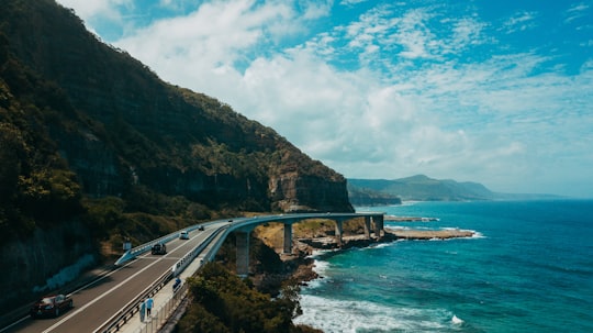

7 - Stanwell Tops
24 km away
Stanwell Tops is an exurban locality between the cities of Sydney and Wollongong on the New South Wales, Australia coastline. It lies northwest of Stanwell Park and southwest of Otford.
Learn more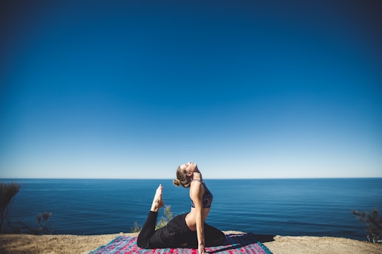
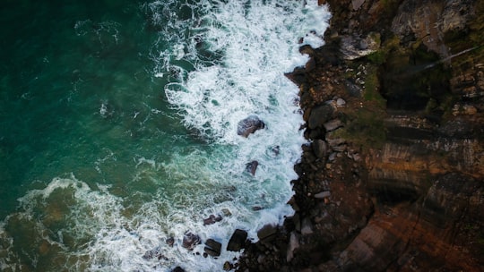
8 - Kiama Blowhole
27 km away
The Kiama Blowhole is a blowhole in the town of Kiama, New South Wales, Australia. The name ‘Kiama’ has long been translated as “where the sea makes a noise”. It is one of the town's major tourist attraction.
Learn more Book this experience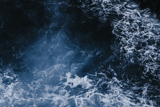
9 - Royal National Park
27 km away
Learn more
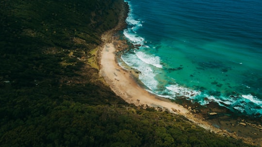
10 - Helensburgh NSW
29 km away
Helensburgh is a small town in New South Wales, Australia. Helensburgh is located 45 kilometres south of the Sydney central business district and 34 kilometres north of Wollongong.
Learn more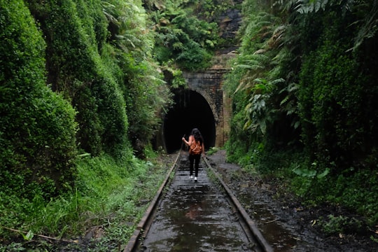
11 - Gerringong
36 km away
Gerringong is a town located about ten minutes drive south of Kiama, and about twenty minutes north of Nowra in the Illawarra region of New South Wales, Australia in the Municipality of Kiama. At the 2016 census, Gerringong had a population of 3,966.
Learn more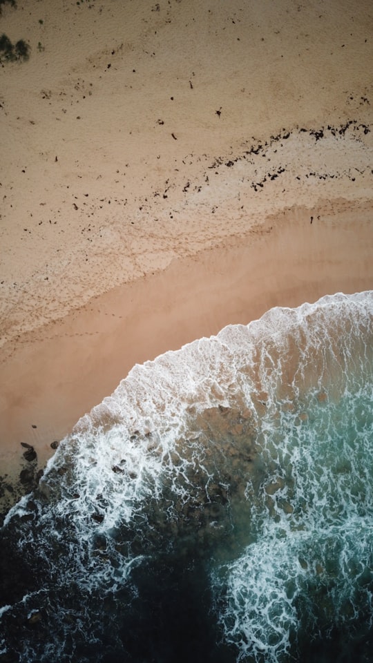
12 - Bundeena NSW
45 km away
Bundeena is a village on the outskirts of southern Sydney, in the state of New South Wales, Australia. Bundeena is located 29 km south of the Sydney central business district and is part of the local government area of the Sutherland Shire.
Learn more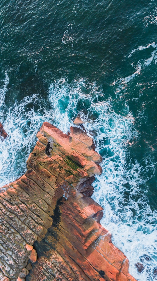
13 - South Cronulla Beach
48 km away
Cronulla Beach, is a patrolled beach on Bate Bay, in Cronulla, New South Wales, Australia. The Cronulla Pavilion and the Cronulla Lifesaving Club are two prominent buildings located close to the sand. Cronulla Park sits behind the beach.
Learn more Book this experience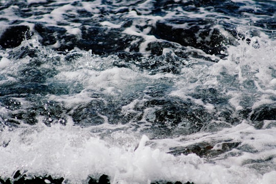
14 - Shoalhaven Heads
49 km away
Shoalhaven Heads is a town in Shoalhaven, New South Wales, Australia. At the 2016 census, Shoalhaven Heads had a population of 3,059 people. It has a fine surfing beach, access to the Shoalhaven River and is surrounded by wineries.
Learn more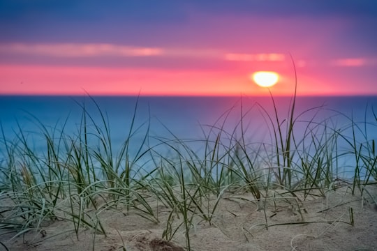
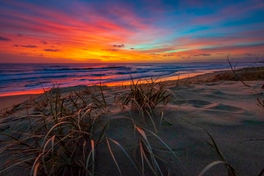
Disover the best Instagram Spots around Wollongong NSW here
Book Tours and Activities in Wollongong NSW
Discover the best tours and activities around Wollongong NSW, Australia and book your travel experience today with our booking partners
Pictures and Stories of Wollongong NSW from Influencers
4 pictures of Wollongong NSW from Eduardo Filgueiras, Maggie Yap, and other travelers
Plan your trip in Wollongong NSW with AI 🤖 🗺
Roadtrips.ai is a AI powered trip planner that you can use to generate a customized trip itinerary for any destination in Australia in just one clickJust write your activities preferences, budget and number of days travelling and our artificial intelligence will do the rest for you
👉 Use the AI Trip Planner
Why should you visit Wollongong NSW ?
Travel to Wollongong NSW if you like:
⛰️ Cliff 🏖️ Headland 🏞️ Watercourse 🏖️ Shore 🏖️ Ocean 🛣️ Road tripWhere to Stay in Wollongong NSW
Discover the best hotels around Wollongong NSW, Australia and book your stay today with our booking partner booking.com
More Travel spots to explore around Wollongong NSW
Click on the pictures to learn more about the places and to get directions
Discover more travel spots to explore around Wollongong NSW
🗼 Landmark spots 🌊 Ocean spots 🏨 Resort spots 🏖️ Shore spotsTravel map of Wollongong NSW
Explore popular touristic places around Wollongong NSW
Download On Google Maps 🗺️📲
